
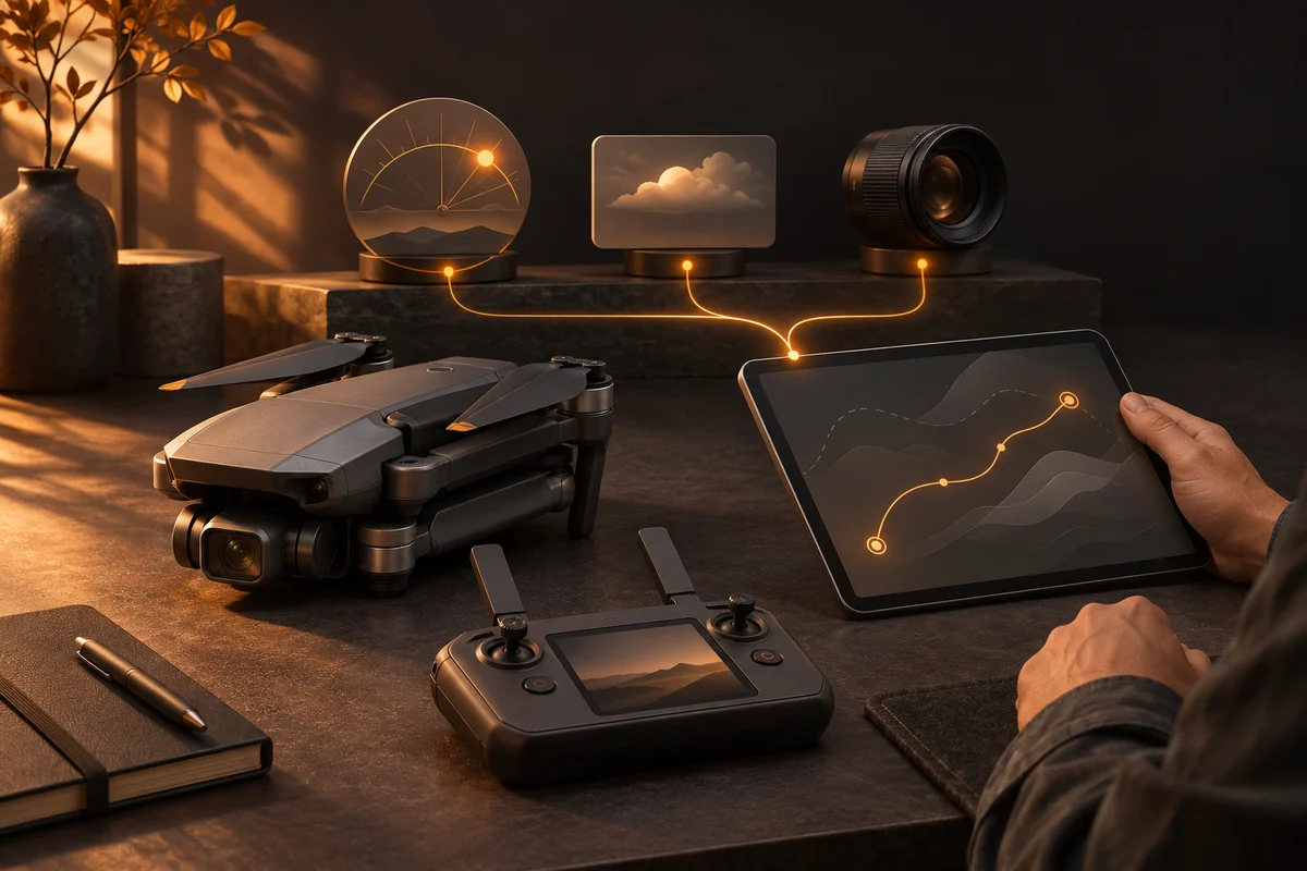
The shot starts before take-off
A camera drone is capable of a lot. A good shot still needs a plan: where is the sun, what should stay in frame, and how should the camera and aircraft move together?
We developed an AI-assisted toolchain for that task. AI turns the visual brief into a shot list, chooses movements and prepares settings. A program calculates waypoints and camera actions. A person reviews the plan and supervises the flight.
From the intended image to camera movement
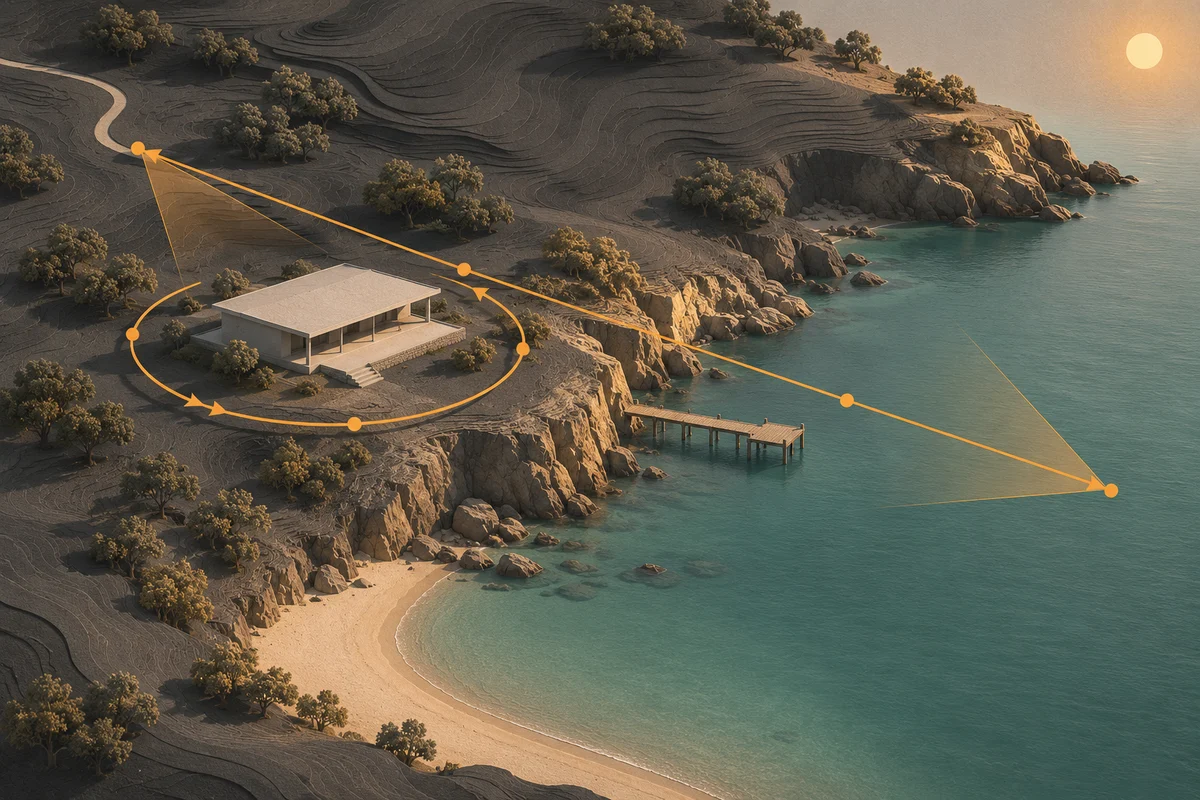
“Show a building, then open the view towards the water” is a visual brief. Movement, camera direction and timing turn it into a planned shot.
| Visual idea | What we plan |
|---|---|
| Show a subject in context | An arc around it, viewing direction and camera tilt |
| Reveal the surroundings | A movement that opens the view gradually |
| Create a calm overview | Path, altitude and speed suited to the framing |
| Combine stills and video | Capture actions at suitable waypoints |
What AI decides and what the program calculates
AI does more than draw an attractive line on a map. It works from the purpose, subject, light and device capabilities. Our developed workflow connects several steps:
- Assess conditions: Consider solar position, weather data and available terrain information.
- Design the shots: Specify camera movement, orientation, tilt and still or video actions.
- Calculate the route: Turn chosen parameters into waypoints and a route file for the tested device setup.
- Check the plan: Check selected configured limits and display warnings.
- Review before take-off: Inspect the route and viewing directions in a preview and check them on the device.
The generated plan can include zoom values too. Whether every movement executes as intended on a particular device is a separate test. Support in software and a successful camera test are different forms of evidence.
Built, checked and flown
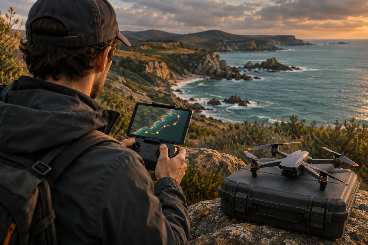
The workflow was developed for a DJI device setup. A documented test flight on 11 November 2026 successfully switched between still capture and video. During our code review on 19 November 2026, the 16 existing tests all passed.
Those tests cover geometry, solar calculations, selected planning constraints and the route-file format. That is concrete technical evidence. It does not establish that every movement, zoom transition or new device combination has been tried.
The coastline shown here is an illustration of a fictional location. It explains planning; it is neither footage from the test flight nor a route to fly.
Supervision is part of the system
The person remains the pilot. They assess the situation on site, check the route and equipment, and can intervene. A planning check does not automatically detect every obstacle or change in the surroundings. Weather and terrain data cannot replace an on-site assessment.
Transfer also depends on the controller and software version. Our developed workflow is therefore not a blanket promise for every drone model or a complete clearance to fly.
What carries over to other tasks
The example demonstrates a capability beyond drones: AI can turn a creative task into checkable steps and executable device data. We connect a language model, calculations, interfaces and human judgement to do that.
For a new task, we first establish the required shot and available equipment. Then we develop an appropriate solution, separating planned functions from results that have actually been tested.
Tell us about your task or learn to use AI on your own project. Our Project Bantayan insight offers another example of custom software development.
Sources.
- SolvraONE: entwickelte Drohnenplanung, Code-Abgleich und TestsOwn source · As of
- Entwicklung und dokumentierter TestflugOwn source · As of
Keep reading.
Insights · our community project
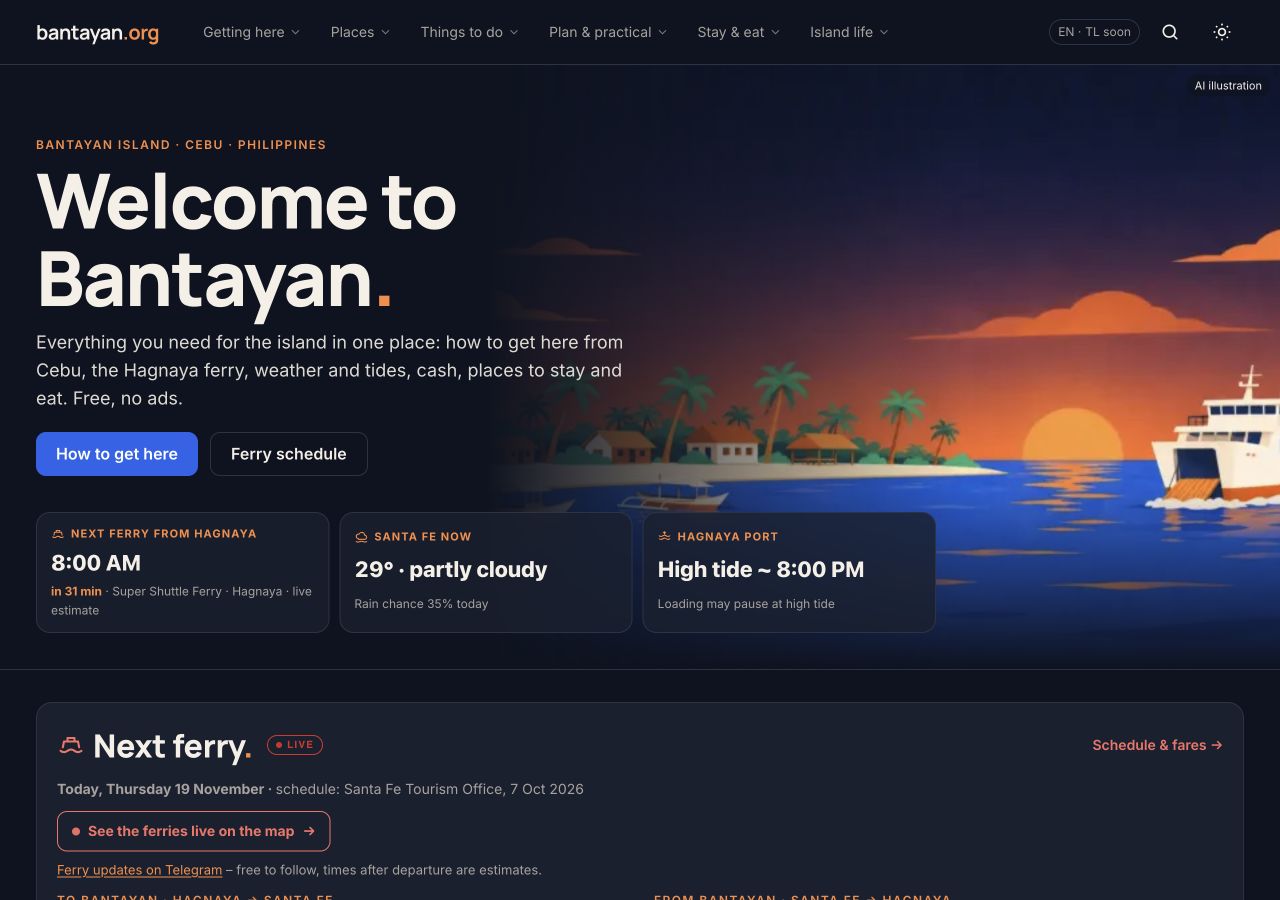
Project Bantayan: Built with AI. Maintained by AI
Our community project shows the breadth of our work: AI maintenance, custom software, a ferry view and data integration.

Insights · In practice
Turning research into a decision
Our research atlas connects sources, risks, judgements and implementation. Drone planning shows how research leads to action.

Is AI worth it for you? We measure it.
Find useful AI tasks, introduce existing tools, train your people and measure the actual benefit.